There’s a lot more to be settled besides an inter-agency tiff over financing and depth levels before the long-proposed St. Thomas Harbor dredge project becomes a reality.
Among the issues are a shipwreck that may need to be relocated from the project area, endangered and threatened coral species that should be moved, and the replanting of about two acres of seagrass beds. There’s also the question of how to mitigate the impact on a number of fish species that live in the affected waters. And a need for approval of the plan to dispose of the dredged material.
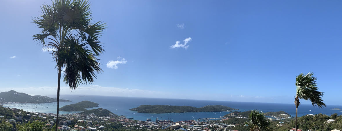
A major dredge near the West Indian Co. docks to accommodate ever-bigger cruise ships has been in public discussion for well over a decade. It would include removing more than 216,000 cubic yards of material from an area of 43.6 acres, thus deepening the channel entrance, a turning basin and the berths at the docks.
The project received local approval in the form of a permit from Coastal Zone Management four years ago, but it is still awaiting a federal thumbs-up.
The issue hit the news afresh last week when it surfaced that WICO wanted to dig as deep as 40 feet for the berthing station, while the Port Authority was arguing that 36 feet would be sufficient for the entire project and more practical, given funding constraints.
First proposed by WICO, the project is now being managed by the Virgin Islands Port Authority. The authority submitted a formal permit request to the federal government in December 2022.
“VIPA is still working with the U.S. Army Corps of Engineers to receive approval for the dredging of Charlotte Amalie Harbor,” according to the authority’s Director of Engineering Preston Beyer, via an emailed reply to a Source question about the status of the permit.
Luis Deya, a spokesman for the Army Corps of Engineers, told the Source Wednesday that it is expecting a revised set of plans from the Port Authority, minimizing impacts of the project.
“Before the Corps can issue the permit, we must have a copy of the Coastal Zone Management Consistency Concurrence and the Water Quality Certification from the Department of Planning and Natural Resources,” he said.
“We also need to complete the Endangered Species Act Section 7 consultation process with the National Marine Fisheries Service as well as the National Historic Preservation Act Section 106 consultation with the State Historic Preservation Officer,” he added.
After all that happens, Deya said, “the Corps anticipates it will take no more than 60 days to issue a permit decision.”
Meanwhile, there’s a historical shipwreck in the way.
The vessel dates from the mid-1800s, according to David Brewer, the senior territorial archeologist. He said the State Historic Preservation Office has raised the issue first with WICO and now with the Port Authority, telling them both, “You can’t be dredging until you deal with this.”
There is little known about the ship, he said, and SHPO is looking to the Port Authority to manage and pay for an investigation of it that would include a determination about how fragile it is and whether and how it could be relocated.
The authority is responding, Brewer said, and has gotten at least as far as hiring a consultant to manage the project.
A second shipwreck is also close to the dredge footprint, but Brewer indicated it is not a concern.
Sean Krigger, SHPO director, said the office is not releasing the exact location of the wrecks and stressed that it is illegal for any unauthorized person to dive in the harbor and to remove anything from the harbor.
The actual dredging is expected to take approximately a year, according to the permit application.
The plan calls for using 60 cubic yards of “non-contaminated, appropriate grain size sand” to fill the hole in Lindbergh Bay “that was created in the 1960s when Lindbergh Bay was mined for material used in construction of the Cyril E. King Airport expansion.”
Some “beach quality” sand may also be used for “beach nourishment” at St. Thomas resorts, the plan says. Leftover dredge spoils will be shipped to St. Croix to a disposal area north of that island.

