81.7 F
Charlotte Amalie
Tuesday, May 28, 2024
Home Map of St. Thomas Map of St. Thomas

Map of St. Thomas

Map of St. Thomas. 1907. A Danish trading company took possession of the small island in 1671. At first the intention was to grow tropical crops like tobacco, cotton, and sugar; but it soon turned out that the mountainous island was not suitable for agriculture. The acquisition of St. Croix in 1733 served these purposes instead, and St. Thomas became a base for trade and shipping. On the large bay on the south side of the island the town of Charlotte Amalie developed. At the head of the bay lies Fort Christiansfort, and beside it the trading center of the town runs along the street Dronningensgade. The settlement continues up into the hills, and highest up above the town at a height of 1,500 feet one can look out over the Caribbean to the south and the Atlantic to the north. (Image courtesy Olasee Davis)

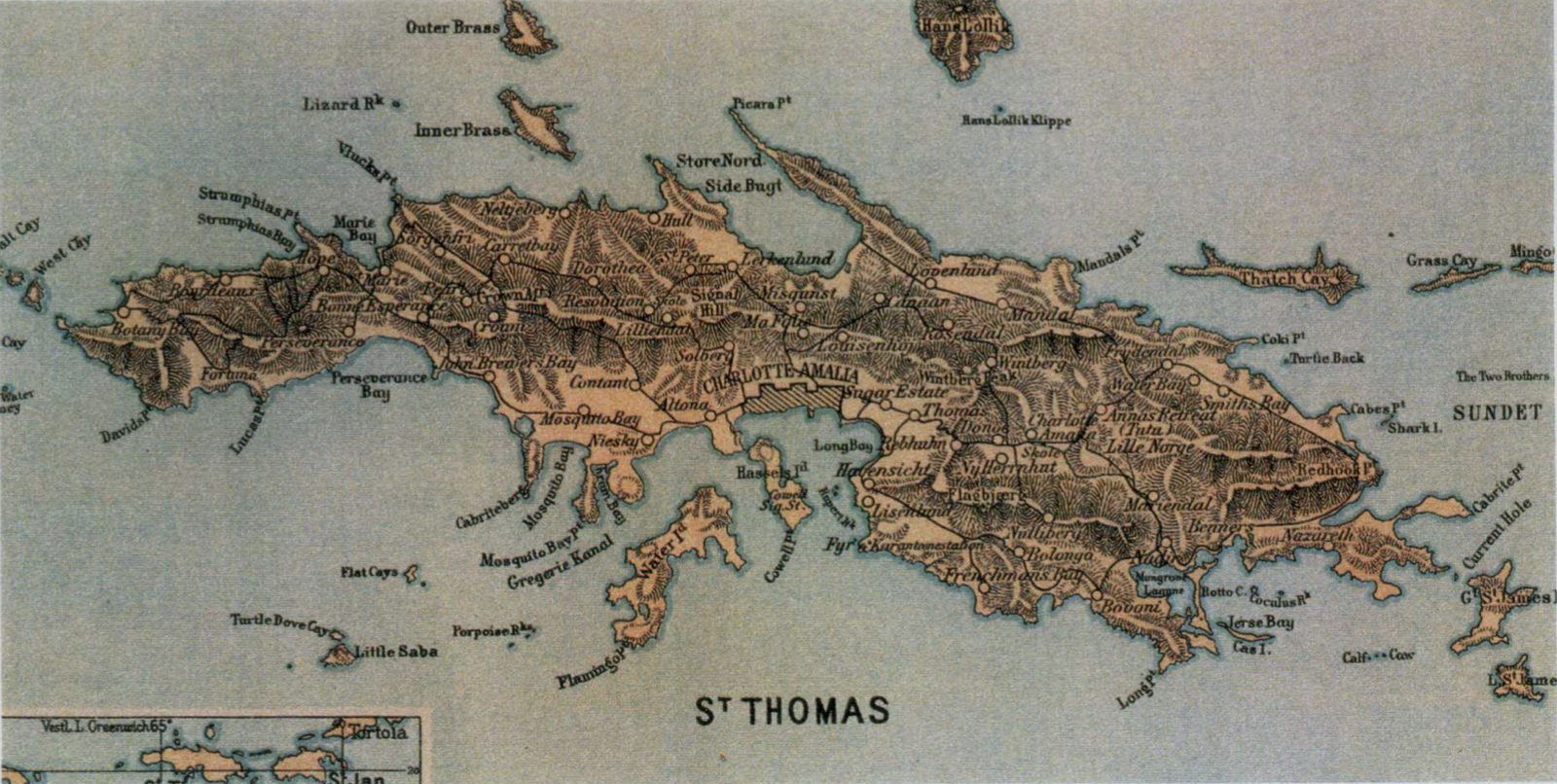
St. Thomas Danish West Indies map, Olasee Davis

Print Friendly, PDF & Email
Estate Anna’s Hope
Coal carriers

UPCOMING EVENTS

UPCOMING EVENTS