

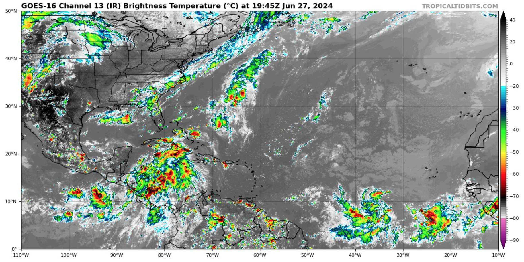
The National Hurricane Center is closely watching tropical disturbances near the Gulf of Mexico and the eastern Atlantic Ocean for possible cyclonic development.
Regarding the tropical systems that could affect the U.S. Virgin Islands and Puerto Rico, the NHC has noted that two tropical waves are being monitored in the eastern Atlantic. The first of the two tropical waves, currently dubbed “Invest 95L,” has a high chance of intensifying into a tropical depression or a tropical storm over the next few days. (An “invest” is an area under investigation for tropical development.)
“We are currently monitoring two tropical weather systems [in the Atlantic],” according to an update from the National Weather Service in San Juan, Puerto Rico on Thursday. “The first system has a higher potential for development; however, a high-pressure area will keep it positioned well to the south of our region. The second tropical wave is not forecast to develop as significantly, but [computer forecast] models suggest it will be located somewhat closer to the local region,” the NWS continued.
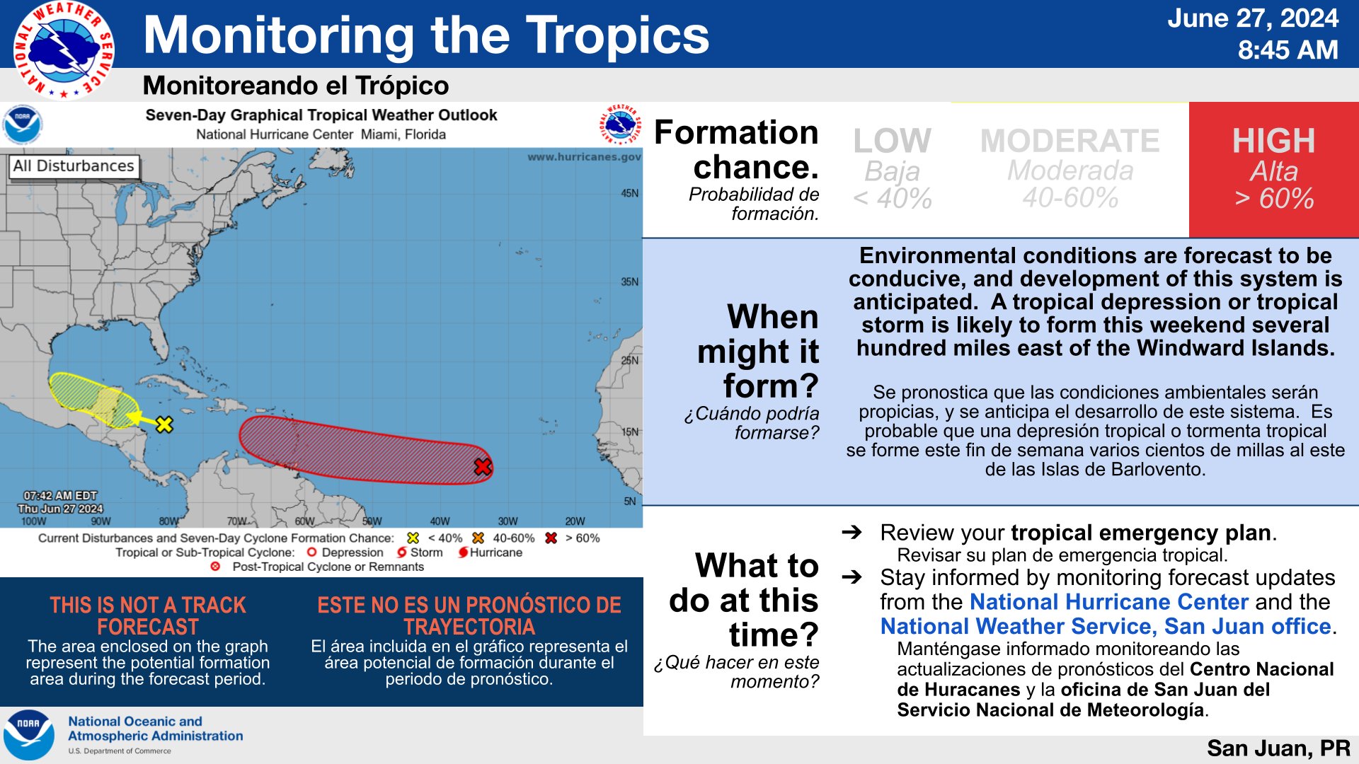
“The first wave, now [named] Invest 95L, is forecast [to pass to the south of the local islands] between late Monday and Tuesday, and the second wave is forecast to move south of the area between Wednesday and Thursday,” the NWS said.
The NWS explained that although the USVI and Puerto Rico may not receive direct impacts from either tropical wave, indirect impacts, including the potential for rain and hazardous marine conditions, can be anticipated over the coming days. However, the forecast and storm track can change rapidly, and it is crucial for residents and visitors across the region to monitor the situation closely.
“While it might initially appear that neither of these systems will have a direct impact on our area, they will, indeed, indirectly affect us,” the NWS warned. “Both systems will lead to increased cloudiness and higher likelihood of rain,” the NWS stated. “Our primary concern, however, is the hazardous marine conditions anticipated, particularly in the Caribbean Sea, due to the forecast track of both systems.”
Notably, if a tropical storm develops, with maximum sustained winds of at least 39 miles per hour, it will be named Beryl, the second named storm of the 2024 Atlantic Hurricane Season. (Tropical Storm Alberto, the first named system of the season, impacted the eastern coast of Mexico and southeast Texas when it made landfall in Mexico on June 20.)
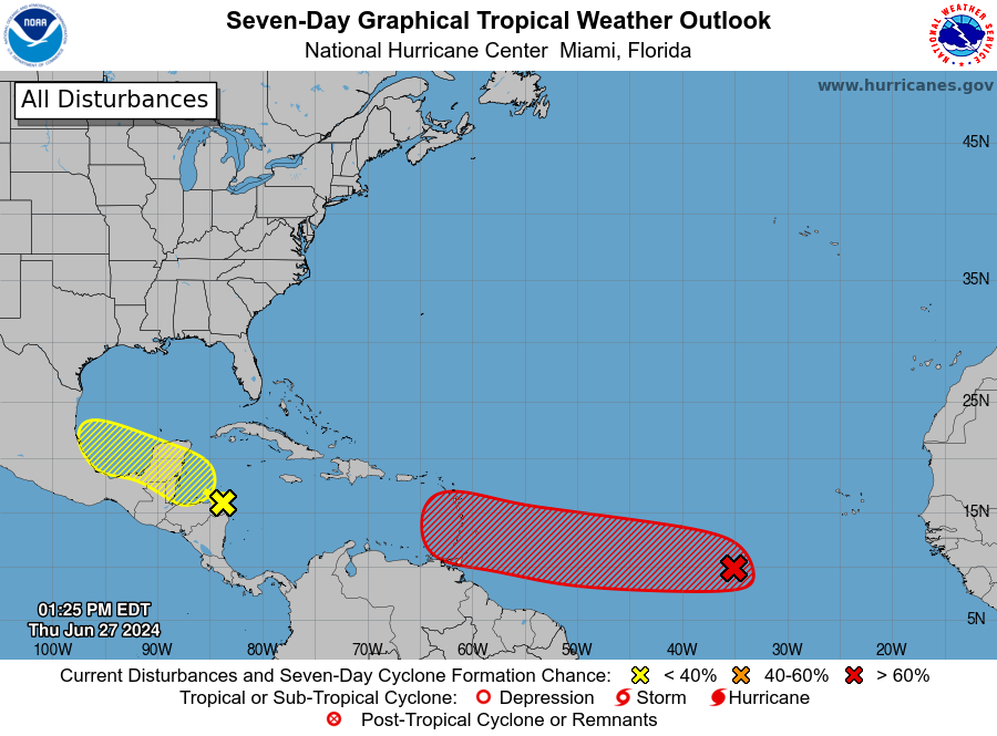
In addition to the two tropical waves being monitored in the Atlantic, the NHC is watching Invest 94L, a disturbance near the southwestern Gulf of Mexico. The system has a low chance of experiencing some development over the next few days.
Hurricane Season Preparedness
The Source contacted Emanuel Rodriguez, a meteorologist at the NWS in San Juan, Puerto Rico, for suggestions on preparing for inclement weather in the coming days.
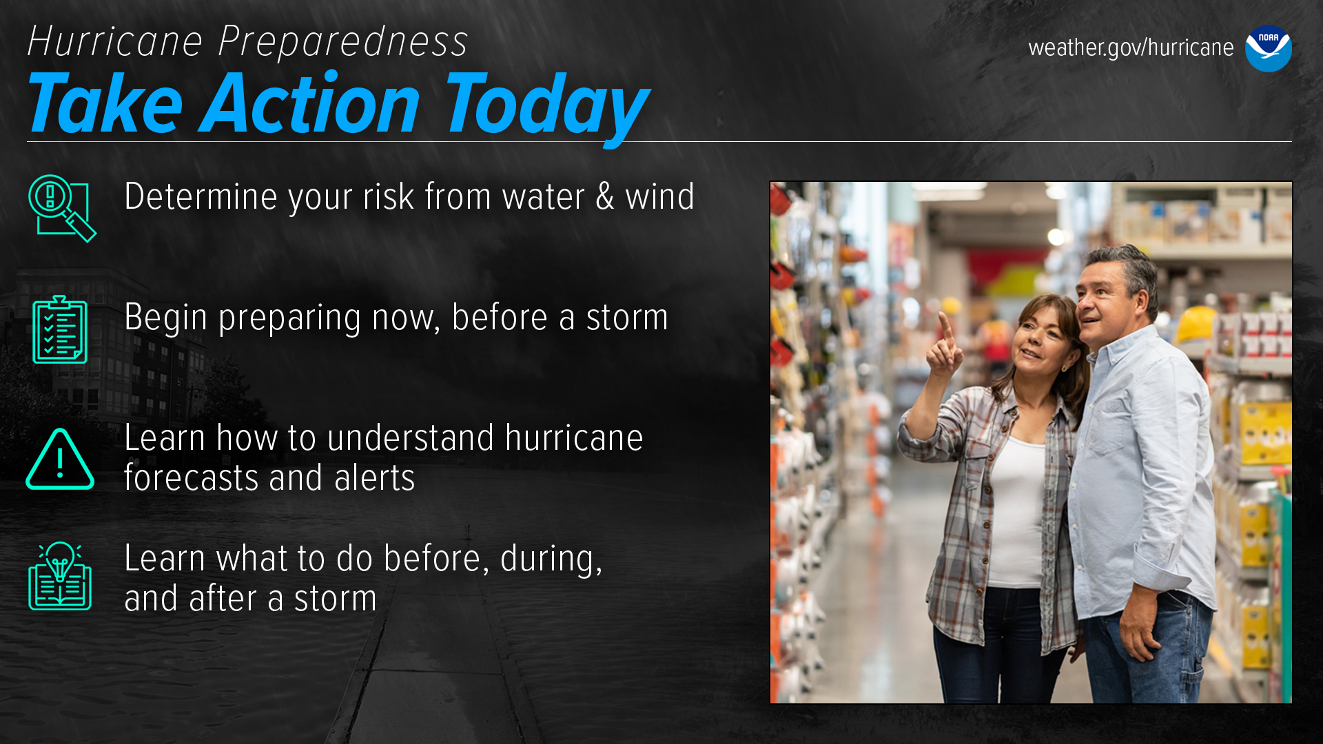
“At this point, my main recommendation for the public would be to review plans [for hurricane preparedness] for the ongoing hurricane season,” Rodriguez said. “Even if [the current tropical systems do not directly] affect the islands, the season is just starting, and we need to monitor any tropical wave that leaves Africa. It is important that the citizens follow the instructions from the local authorities in case one of these systems gets close to us,” he continued.
As reported in a recent Source article, a busy 2024 season is possible because of several factors, including a transition from an El Niño weather pattern to La Niña and extraordinarily warm sea surface temperatures across the North Atlantic. The combination of these elements may contribute to an increase in cyclones developing this year.
USVI residents and visitors can find information regarding hurricane preparedness from the Virgin Islands Territorial Emergency Management Agency and the National Oceanic and Atmospheric Administration.
Weather Updates
In addition to the developing tropical waves, warm weather is forecast to continue. Staying hydrated and cool is essential to help avoid heat-related illnesses.
“In terms of heat, not a lot of relief is expected,” Rodriguez stated. “Days with clouds and rain may feel a little cooler than others, but in general, we are expecting above-normal temperatures to linger for the rest of the summer months,” he added.
Weather forecast information, including severe weather alerts, is available from the VITEMA website and the National Weather Service.
The Source Weather Page also publishes a daily weather forecast and offers readers the opportunity to view weather forecast videos and disaster preparedness video segments.