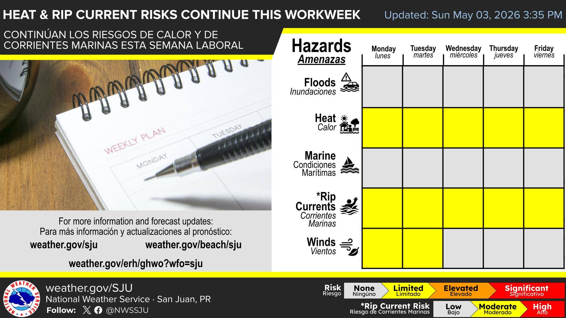
The U.S. Virgin Islands and Puerto Rico are set for a week of above-average temperatures and intermittent showers, as well as a moderate rip current risk affecting marine conditions, according to the National Weather Service in San Juan.
Heat and Weather Overview
As the month of May begins and the summer months approach, meteorologists at the NWS explained that hot and humid temperatures will be exacerbated by the potential for high heat indexes. Afternoon high temperatures across the USVI are expected to reach the mid to upper 80s Fahrenheit, with humid conditions making it feel even hotter.

“Above-normal temperatures will persist, promoting elevated heat indexes across urban and coastal areas,” the NWS stated in an update on Tuesday.
According to the NWS, “The heat index, also known as the apparent temperature, is what the temperature feels like to the human body when relative humidity is combined with the air temperature.”
Forecasters said that the warm weather pattern is driven in part by a southeasterly wind flow. While winds are expected to shift to a more easterly direction by early next week, the risk of excessive heat will remain.
“A limited heat risk is also forecast for most of the period, affecting sensitive individuals and individuals with prolonged exposure and/or inadequate hydration. Current computer forecast model guidance suggests a more easterly steering flow to start the next week, veering to become more easterly to east-southeasterly to start the next workweek and continuing to bring patches of both drier and more humid air,” advised the NWS.
Individuals across the region are encouraged to monitor their hydration, limit strenuous activity during peak afternoon heat, and check on vulnerable populations such as children, the elderly, and pets.
Isolated Showers are Possible
Although sunshine is expected to dominate, isolated showers and brief thunderstorms are possible, and gusty winds will occur at times.
“Mostly fair weather will prevail during the forecast period, with passing trade wind moisture bringing isolated showers, mainly during overnight and morning hours,” the NWS said.
Saharan Dust May Reach the Region
NWS meteorologists also noted that minor amounts of Saharan dust may be present in the coming days, although the majority of the desert sand should remain south of the region.
“Low concentrations of Saharan Dust will reach the area while the bulk of a Saharan Air Layer will stay south of the local islands,” the NWS said. “Under breezy conditions, increasing temperatures and with patches of drier air approaching, the potential for elevated fire danger remains,” the NWS continued.
Saharan dust can also aggravate respiratory conditions such as asthma and allergies. Residents and visitors with sensitivities are advised to monitor air quality and limit prolonged outdoor activity, particularly when dust concentrations are high.
Marine Conditions and Rip Currents
The NWS explained that winds and long-period northeasterly swells are anticipated to generate some choppy seas. While the overall risks of hazardous marine conditions may remain relatively limited, a moderate risk of rip currents is expected across portions of Puerto Rico and the USVI.
“Moderate rip current risk will continue along northern and eastern exposed beaches through Thursday, improve to low risk on Friday, and then return to moderate by the weekend as winds increase,” the NWS stated.
Small craft operators should exercise caution, and swimmers are urged to remain vigilant. Detailed rip current safety tips can be found on the official website of the National Oceanic and Atmospheric Administration.
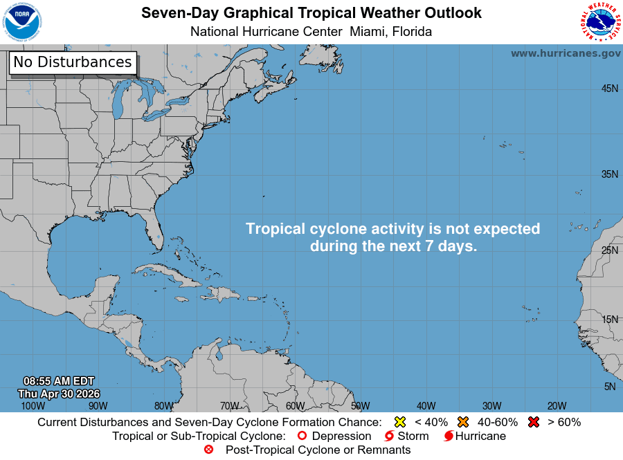
Looking Ahead to Hurricane Season
As the region approaches the 2026 Atlantic Hurricane Season, the National Hurricane Center will resume daily tropical outlook posts starting May 15. The official start of hurricane season is June 1, and NOAA plans to release its official hurricane season forecast on May 21.
As reported previously by the Source, forecasters at Colorado State University and AccuWeather predict a season that could be below average. This is largely due to a potentially strong El Niño weather pattern currently developing in the Pacific. When an El Niño phase occurs, wind shear can increase across the Atlantic basin, helping to disrupt tropical cyclone development.
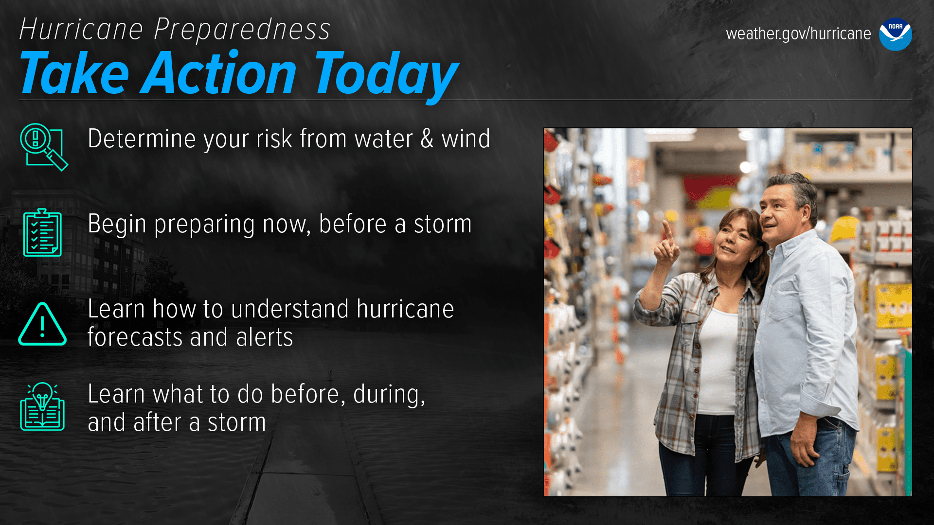
However, even with a forecast for fewer storms, residents are encouraged to remain prepared and informed, as it only takes one storm to cause significant destruction.
Daily Weather Forecasts
Information regarding the weather across the USVI, including marine forecasts, is available from the NWS and NOAA. With the Atlantic hurricane season set to begin June 1, individuals across the islands are also encouraged to begin preparing for hurricane season.
The local forecast is regularly updated on the Source Weather Page, and a weekly video forecast is available. Additionally, residents and visitors can view weather alerts and disaster preparedness information from the Virgin Islands Territorial Emergency Management Agency

