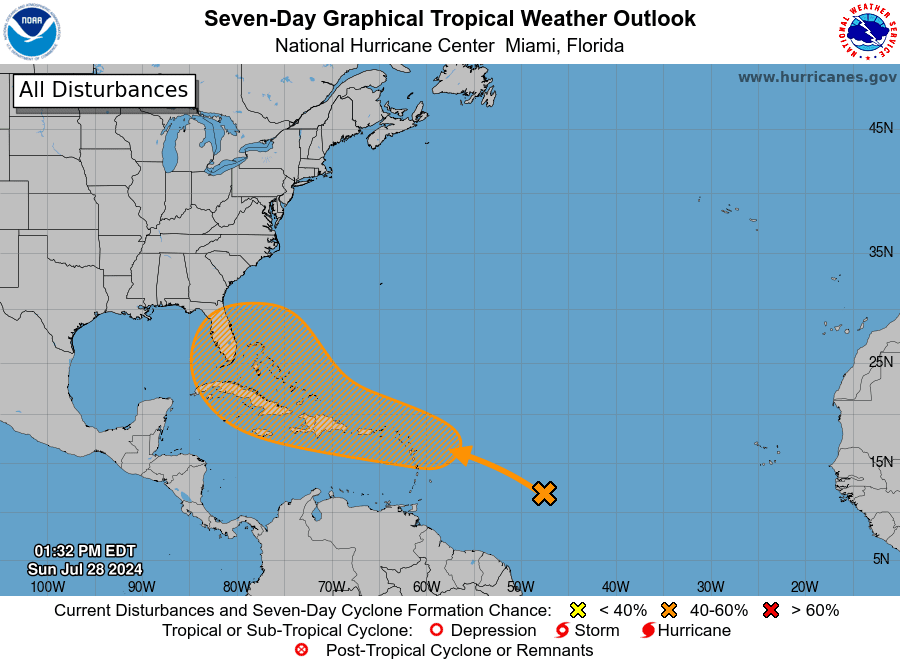
The National Hurricane Center is monitoring an area in the central Atlantic for possible cyclonic development. The tropical disturbance may pass near the U.S. Virgin Islands during the middle to second half of this week.
“An area of disturbed weather over the central tropical Atlantic Ocean is expected to interact with an approaching tropical wave during the next several days,” according to an update on Sunday from the NHC. “Environmental conditions are forecast to become conducive for some development in a day or two, and a tropical depression could form around midweek while the system is near or over the northern Leeward Islands, Greater Antilles, or southwestern Atlantic Ocean,” the NHC said.
As of Sunday afternoon, the chance of cyclonic development was moderate, at 40 percent. However, the National Weather Service in San Juan, Puerto Rico, stressed that much uncertainty remains about the forecast, and residents and visitors are encouraged to monitor the situation closely.
“So far, confidence is low as it is still uncertain how much [the tropical system may] intensify before it reaches the northern Caribbean and the exact path that this wave will take, which will ultimately dictate its potential impacts on our region,” the NWS said on Sunday. “Therefore, continue to monitor the forecast, but be mindful that weather conditions will shift to a more unstable and wet pattern at the beginning of the long-term forecast,” the NWS continued.
Over the weekend, the NWS explained that heavy rainfall, thunderstorms, and possible flooding may occur across the region during the week, starting around Wednesday and lasting through Friday.
“Regardless of [any cyclonic development,] we can expect a shift in weather conditions with increased instability and an elevated flooding threat. This could potentially bring heavy rain, frequent lightning, and gusty winds, [and] quick river rises and landslides cannot be ruled out as this tropical wave crosses the northern Caribbean.,” according to the NWS.
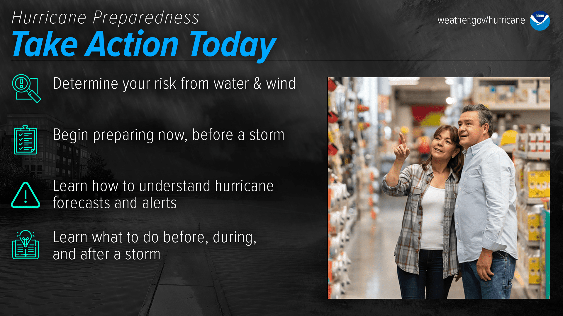
Hurricane Season Preparedness
The 2024 Atlantic Hurricane Season has already been record-breaking, particularly due to destructive Hurricane Beryl, which rapidly intensified into a major hurricane and brought devastating impacts to portions of the Caribbean earlier this month.
As reported in a recent Source article, a busy 2024 season is possible because of several factors, including a transition from an El Niño weather pattern to La Niña and extraordinarily warm sea surface temperatures across the North Atlantic. The combination of these elements may contribute to an increase in cyclones developing this year.
USVI residents and visitors can find information regarding hurricane preparedness from the Virgin Islands Territorial Emergency Management Agency and the National Oceanic and Atmospheric Administration.
Weather Updates
In addition to the developing tropical waves, warm weather is forecast to continue, and Saharan dust may be prevalent in the atmosphere. Staying hydrated and cool is essential to help avoid heat-related illnesses.
Weather forecast information, including severe weather alerts, is available from the VITEMA website and the National Weather Service.
The Source Weather Page also publishes a daily weather forecast and offers readers the opportunity to view weather forecast videos and disaster preparedness video segments.

