
In the last several weeks, there have been three significant developments in the long-running battle to construct the Yacht Club at Summer’s End, also known as the St. John Marina. Part 1 of this series focuses on a lawsuit filed Oct 21 in the Federal District Court of the Virgin Islands by the Moravian Church Conference of the Virgin Islands against the Summer’s End Group. Part 2 delves into a recent decision by the United States Supreme Court not to hear a case involving Summer’s End and the Governor of the Virgin Islands and that ruling’s implications for lawmaking in the Virgin Islands. Part 3 discusses a letter sent by the U.S. Army Corps of Engineers to the Summer’s End Group explaining environmental studies that must be completed before the Army Corps can re-initiate consultations with other federal agencies and even consider a permit for their marina in Coral Bay.
U.S. Army Corps of Engineers Demands Further Studies from Summer’s End Group
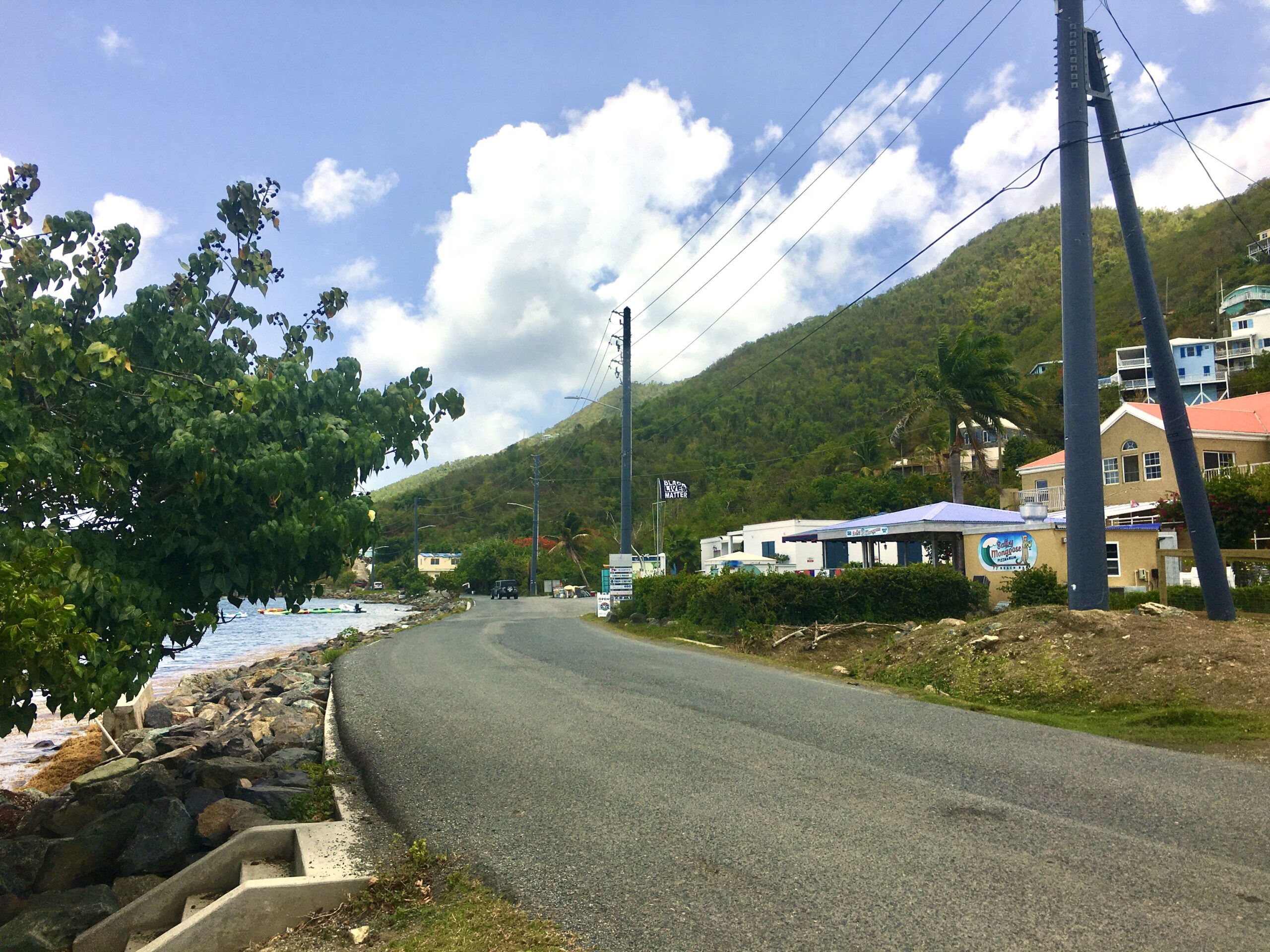
The Summer’s End Group initially received Coastal Zone Management permits to build its marina on the western side of Coral Bay harbor eight years ago, but those permits were not finally resolved in the courts until recently, and Summer’s End has yet to obtain a permit from the U.S. Army Corps of Engineers.
On Sept. 13, 2021, the Army Corps sent Summer’s End a 20-page letter outlining the information the developers needed to supply in order for the Army Corps to continue to evaluate the permit application.
Five months later, the Summer’s End Group responded to the request for additional studies.
Apparently, the information sent by Summers End was insufficient. On Sept. 21, 2022 — a little more than after the 2021 letter — the Army Corps sent Summer’s End an even longer letter.
This 25-page document details the types of studies required and requests clarifications on a number of other points presented in Summer’s End’s permit application.
Perhaps most significant is a request by the Army Corps to provide a comprehensive benthic resource survey — a study that will require underwater surveys by qualified marine biologists of all of the flora and fauna on the seabed.
“This survey should be developed in close coordination with the National Marine Fisheries Service and should include the entire action area, including any areas at risk of impact from sedimentation,” the Army Corps’ letter states.
Until this survey is completed, other critical matters that rely on this data cannot be addressed, the letter states in several places.
As it is designed, the proposed marina’s “piers, slips, moorings and navigation areas” would occupy approximately 25.8 acres within Coral Bay harbor, which represents about 26 percent of the waters within the harbor. The Army Corps wants all 100-plus acres of the entire inner harbor to be surveyed.
“Coral Bay is a highly sensitive area with seagrasses, corals, and is [a] designated critical habitat for corals,” the letter continued. “Although unregulated mooring does currently occur in the area, the proposed project has the potential to affect the environment in Coral Bay. The Corps believes that additional avoidance and minimization measures can be achieved to reduce adverse effects on the environment.”
The Army Corps has also recommended that Summer’s End scale back the project and suggested several ways to accomplish this, including reducing the width of the walkways, eliminating the southern dock (the mega-yacht slips), and cutting back on the number of boat slips. (These changes could allay some of the concerns of another marina under development by the Moravian Church Conference of the Virgin Islands for their property on the north side of Coral Bay. See Part 1 of this series.)

The Army Corps also suggested constructing the docks in phases. “The southern portion of the proposed marina (Piers I, J, and F) could be constructed at a later date if the need is justified, concerns over historic properties have been resolved, and if it is demonstrated that impacts to seagrasses and corals are minimal. Monitoring would be required.”
One of the concerns over “historic properties” involves the discovery of a shipwreck, perhaps dating back to the early 1700s.
The Army Corps questioned the data presented in the Summer’s End’s report on the effects of shading on seagrass beds from the construction of docks and walkways; the Army Corps also challenged the validity of a study on currents and sedimentation patterns.
Another key question raised by the Army Corps involves the relocation of the boats that are now moored in Coral Bay. Under the current plan, Summer’s End would provide a mooring field for 12 vessels, but the letter stated, “Google Earth aerials taken on 2 June 2020, indicated that there are approximately 100 vessels moored in Coral Bay.”
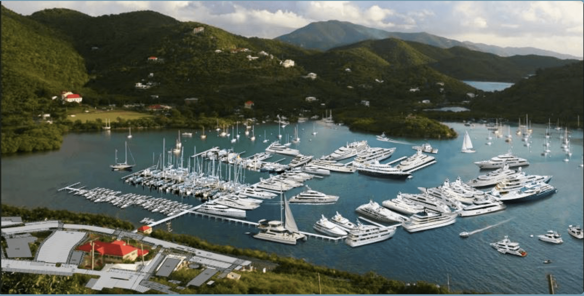
It is unclear where these boats could go. Coral Bay harbor is one of four designated anchorages in territorial waters around St. John and the only one on the eastern portion of St. John. (Many other bays lie within national park and marine sanctuary waters where long-term anchoring is restricted.)
The Army Corps asked, “Is there an agreement/memorandum of understanding between the applicant and the Department of Planning and Natural Resources for the management of the up to 75 mooring buoys to relocate the existing vessels currently moored in the harbor? Please provide supporting information,” the letter stated.
Clearly, the developers of Summer’s End have much to do in order to address the Army Corps’ concerns over the next two months.
“Further evaluation of your application will be held in abeyance for 60 days pending receipt of your response,” the letter stated. “It is recommended you take careful review of the requested information and take this opportunity to modify your project plan to reflect an alternative that would have less impact on the aquatic resources documented at the site or to add to our record whatever additional information you feel is relevant to our review process.”
The Corps outlined the consequences: “If a complete response is not received by the Corps within the 60-day timeframe, the application may be withdrawn or the Corps may complete its application review with the information available, which may result in an unfavorable permit decision. We will be willing to meet with you prior to the 60-day timeframe to discuss the information in the letter and clarify any questions you may have.”
On a note possibly more encouraging to the developers, the letter stated, “The Corps believes that additional avoidance and minimization measures can be achieved.”

